
Fast, Precise Mineral Discovery

Slow data stalls discovery. BEAM maps surface chemistry in real time—faster, cheaper, surer.
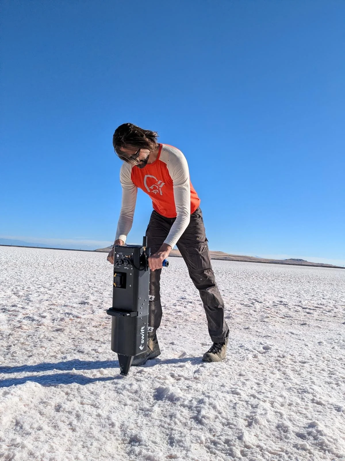
Mars-proven scans every 10 metres, streaming thousands of points into live anomaly maps. Fewer holes. Smarter targets. Months instead of years.
From Mars to Minerals on Earth
We don’t just claim space tech—we built it. Our team helped NASA design and run the lasers now zapping rocks on Mars.
With NASA and DOE funding, we brought the tech back to Earth and proved it in Utah, showing how space-grade sensing makes discoveries faster and cheaper.


why now?
Demand explodES. Discovery STALLS.
The world spends roughly $12 billion a year searching for minerals, yet over half of that spend is lost to imperfect information and slow traditional workflows.
Conventional surface geochemical surveys miss up to 60% of visible surface signals on a first pass, results take months to come back, and most major discoveries require three or more separate exploration programmes to find. If anything is found at all, production is still a decade away.
The energy transition demands minerals faster than traditional methods can deliver them.

Gap between current supply and anticipated demand 2030

EXPLORATION
MARKET
12.8b annual market
Global demand for critical minerals, % increase between 2021-2035
ENergy transition
at risk
Global demand for critical minerals,
% increase between 2021-2035
CLOSE THE GAP
do it once, do it right, know it now
Instead of sampling sparsely, shipping, waiting, and then drilling blind, BEAM generates fresh, high-density surface data that makes exploration faster, cheaper, and more predictable.
We scan ground to deliver lab-quality results at 10‑metre resolution—versus the 400‑metre spacing of old methods—and deliver decision information in real time, not months later.

Step 1
Step 2

Step 3

Step 4
Map in Real Time
Measure the Land


Quantify the Odds
Drill with Purpose
As on Mars our laser system reads geochemistry every 10 metres as we drive across ground. Those readings stream into live maps, highlighting halos, anomalies, and uncertainty zones in real time.
With this intelligence, drilling only happens when the odds justify it.
The result: 95%+ surface-signal detection rate, drilling decisions made in days, up to 80% savings on test-drilling costs, and production reached two-plus years earlier.
Why BEAM is Better
HOW High-Density Geochemistry Wins
Small anomalies don’t slip through—our tennis‑court scale data spots mineral footprints that coarse grids miss.
Dense sampling turns scattered highs into clear shapes, showing whether a trend follows a fault or centers on a deposit.
Thousands of readings reveal multi‑element zoning—the “bullseye” halos that define real ore systems.
Decisions happen in the field—weak anomalies can be tested and extended the same day, not months later.
Focused drilling follows, with targeted holes replacing scattershot fences of blind drilling. Faster, cheaper, and lighter on the land.
That’s the value of BEAM: real discovery intelligence, not expensive guesswork

BETTER DATA MEANS BETTER LAND Stewardship
BEAM gives claimholders a more responsible way to assess their ground. A single, unintrusive, full-grid survey replaces repeated return visits and speculative test drilling. BEAM dramatically reduces the physical footprint of exploration.
A high-confidence negative result means land with negligible deposit potential can be confidently left undisturbed, even set aside as a nature reserve, rather than being surveyed and drilled again and again.
BEAM is partnering with an Alaskan Native Village Corporation to evaluate the mineral potential of their land. Many tribal lands cannot sustain farming but may contain valuable untapped resources. By working directly with tribal leaders and landowners who control their mineral rights, BEAM provides detailed geochemical mapping that helps communities understand and unlock the true economic potential beneath their land.
Don’t leave value in the ground
Join landowners and agencies using BEAM to convert acres into answers and fair deals. Drop your email—we’ll take it from here.
Frequently Asked Questions…
-
Traditional exploration drills first and hopes for the best, often wasting years and millions. BEAM scans the surface with proven sensors, creates real-time anomaly maps, and quantifies probabilities. The result is fewer holes, faster timelines, and clearer decisions.
-
Governments, landowners with mineral rights, and operators who need to evaluate concessions all gain value. By upgrading the odds before drilling, BEAM helps clients negotiate stronger terms, reduce risk, and capture more of the upside.
-
In Utah, BEAM’s two-week survey raised the odds of finding lithium from under 10% to 36%, cut cycle time from 24 months to 6, reduced drill sites from ten to two, and lifted expected value from $235M to nearly $1B.
-
Electrification is pulling mineral demand forward, but discovery is still slow, costly, and uncertain. BEAM is acting now by generating new, high-density surface data that improves odds in days, not years—unlocking critical resources when they’re needed most.